|
Home / Common_In_Lake / Sawyer |
||
|
|
||
|
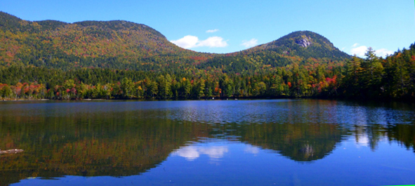
Photograph by Jenny Bennett at Endless Streams and Forests
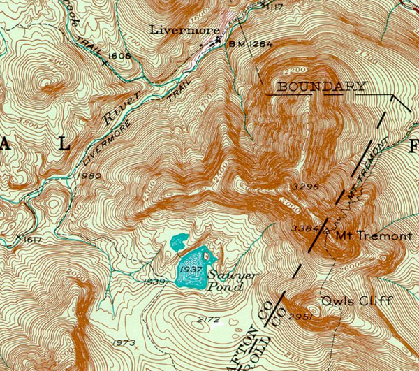
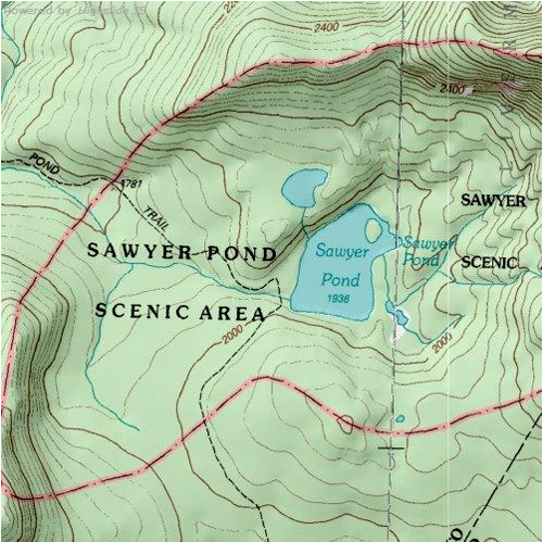
1946 USGS topographic map of Sawyer Pond vicinity
Upper and Lower Sawyer Ponds, and small boggy pond that drains into the east side of Lower Sawyer. |
||
Location N 44o02'46" W 71o22'29" |
||
Description: |
||
|
Trophic level oligotrophic, Watershed area xxx Ha, surface area xxx Ha, area ratio xxx, maximum depth xxx m, average depth xxx m, volume = xxx, average transparency xxx m.
|
||
|
|
||
|
Dates sampled |
||
|
|
||
|
Home / Common_In_Lake / Sawyer |
||